Hema Australian Maps
Choose up to 4 products to compare
Products 49-62 of 62
Show
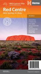
Item #: 9781925625745 -
This regional waterproof map of the Red Centre is ideal for discovering the quintessentially Australian landscape of at the heat of the country. The main map covers the area around Alice Springs, including Uluru, Kata Tjuta, West MacDonnell Range and Watarrka National Park. It also features additional information relating to permits, useful contacts and historical context surrounding some of the area's most popular tourist destinations. PRODUCT FEATURES GPS surveyed roads and tracksFuel...
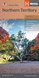
Item #: 9781925625684 -
A map of the Northern Territory that has camping and rest areas, 24hour fuel and points of interest marked on the mapping. On the reverse are CBD maps of Darwin and Alice Springs, a map of the greater Darwin region and maps of Yulara, Uluru and Kata Tjuta with walking tracks, points of interest and accommodation included. For trip planning there is a national park matrix and contact details for information centres. PRODUCT FEATURES GPS surveyed roads and tracksFuel stops4WD tracksCamping...
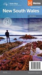
Item #: 9781925625615 -
New South Wales State Map (14th Edition) This state map of New South Wales (NSW) is at a scale of 1:1,500,00 and includes national parks, points of interest, 24-hour fuel in addition to camping and rest areas. On the reverse side are CBD and through-road maps of Sydney and Canberra, as well as the Sydney regional area. There is a full index included, as well as all national park information. Points of interest24-hour fuelNational parksCamping areasRest areasFully indexed ...
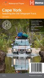
Item #: 9781925195149 -
Featuring the Old Telegraph TrackThis brand new edition of Hema’s best-selling Cape York map, on durable waterproof paper, features our latest mapping and points of interest in a new cartographic style. It now features new inset maps for the CREB Track and Rinyirru (Lakefield) National Park. It combines Hema’s entire database of roads and 4WD tracks with touring points of interest and topographic information. Also included are camping areas, national parks, accommodation and distances.Key...
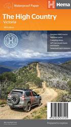
Item #: 9781876413125 -
This brand new edition of Hema’s best-selling High Country map, on durable waterproof paper, features our latest mapping and points of interest in a stunning new cartographic style. Featuring roads and 4WD tracks field-checked by the Hema Map Patrol for superior accuracy.It combines Hema’s entire database of roads and 4WD tracks with touring points of interest and topographic information. Also included are seasonal track closures, camping areas, old townsites, huts, accommodation and...
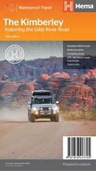
Item #: 9781876413705 -
A regional map of the Kimberley that features the iconic Gibb River Road. On the reverse are inset maps for Purnululu National Park, the Dampier Peninsula and the Parry Creek area. There is also extensive drive detail and trip coverage for the Gibb River Road.Waterproof paperDetailed 4WD tracksNational parksCamping areasGPS surveyed roads & tracksThis new edition of Hema’s best-selling Kimberley map features our latest mapping and points of interest in a stunning new cartographic style. It...
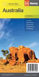
Item #: 9781876413095 -
The Australia Handy Map is a foldable, compact Australian map that is perfect as a journey planner or reference tool. It shows national parks and major road networks with distances for planning, along with major city CBD maps for Brisbane, Melbourne, Sydney, Canberra, Darwin, Adelaide, Perth and Hobart on the reverse side, as well as a distance chart and a place/name index for practical use. Features: Hema's iconic map of Australia Capital city maps National parks Road distances Indigenous...
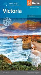
Item #: 9781865009834 -
A map of Victoria for touring throughout the state that has camping and rest areas, 24-hour fuel and points of interest marked on the mapping. On the reverse are CBD, surrounding region and through road maps of Melbourne in addition to maps of the Great Ocean Road and East Gippsland. Also included is a national park matrix and a list of accredited information centres within Victoria. 24-hour fuel National parks Camping and rest areas Fully indexed Points of interest Unfolded Size (WxH) - 100 x...
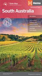
Item #: 9781865009865 -
A map of South Australia that is ideal for touring the state and its significant regions. On the reverse of the main South Australia map is an Adelaide CBD map with places of interest and accommodation listed, along with maps of Adelaide’s through roads, the Adelaide region, Flinders Ranges National Park and the Barossa Valley. National parks and information centres are listed also, combining with the various maps to form a comprehensive base of information to both plan and navigate your South...
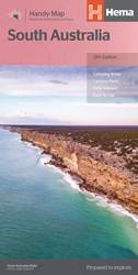
Item #: 9781865008707 -
A map of South Australia that has camping areas, caravan parks, points of interest, rest areas and fuel marked on the map for touring throughout the state. Accompanying the mapping is an index of towns and localities and a distance chart. Key Features: Camping areas Caravan Parks Fully indexed Easy to useScale: 1:1,700,000
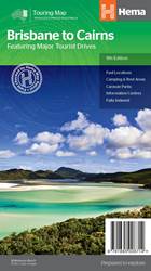
Item #: 9781865008714 -
Drive between Brisbane to Cairns with relevant touring points of interest and detailed mapping for the trip with 24-hour fuel, camping areas and caravan parks, rest areas and attractions marked on the map. On the reverse are CBD maps for Brisbane and Cairns as well as region-specific touring information for the Sunshine Coast, Gympie to Bundaberg, Bundaberg to Gladstone, Mackay and The Whitsundays, Townsville, the Cassowary Coast and Cairns. Details for the Great Tropical Drive, Great Inland...
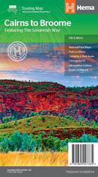
Item #: 9781865007335 -
A touring map for the trip along the Savannah Way between Cairns and Broome at a scale of 1:2,200,000. The maps show 24-hour fuel, outback fuel and LPG as well as caravan parks, camping areas and rest areas. Popular national parks along the route are featured with detailed inset maps of Judbarra/Gregory, Purnululu, Kakadu and Boodjamulla. Also included are contact details for accredited information centres and useful lists of the facilities in national parks. Features: Insets for...

Item #: 9781865006338 -
Hema's Darwin and Region Map features Darwin city (1:25,000) and suburbs on one side and maps of Palmerston (1:25,000), Howard Springs to Humpty Doo (1:75:000) and the Darwin region on the reverse. Features: CBD map Regional map Postcodes 24-hour fuel Caravan parks Points of interest Fully indexedFolded size (WxHxD): 116mm X 250mm x 3mm Flat size (WxH): 700mm X 1000mm ...
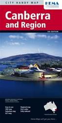
Item #: 9781865002248 -
One side of the map features the complete road pattern for Canberra, not with every road name but enough to be a really good general guide to get you around.The other side of this Canberra map is where there is something really different. Firstly, there is a complete Canberra city map showing all the foreign embassy locations, all the major tourist features and many of the key buildings are named. Also included is some information about the things to do and see in and around Canberra as well...